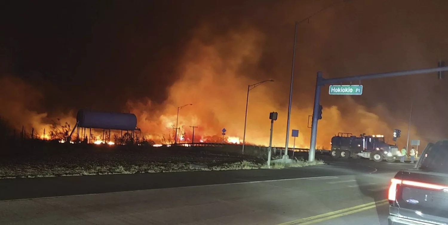
The Big Island has had 109 cumulative COVID-19 cases since the counts began, with two new added today. Although the State Department of Health is generally reluctant to reveal WHERE the newest cases are located, they do publish maps that show via a color code the range of cases within the past 28 days.
The State Department of Health does not designate zip codes on their map, but a group on O’ahu which includes technology expert Ryan Ozawa has broken the entire state’s maps down by zip code. If one reviews the maps daily, it’s possible to determine where new cases are.
One month, 28 days ago, on June 19, 2020, the Big Island’s count was 83. So in the last 28 days, there have been 26 new cases. The map below shows the approximate locations of the individual’s residence or lodging, with the light yellow representing 1 to 5 cases and the gold representing 6 to 10. The white areas have had zero cases in the past 28 days.
Ozawa reports that today’s map shows at least one new case in Hawi, 96719.
To see the state’s original data charts, click here.
The state notes that the residence location of the COVID-19 positive cases does not indicate where the person may have contracted the disease. There is widespread community spread on most islands, although Hawaii County Civil Defense has said many of the recent cases are travel-related, either the person who traveled or somebody on island who was exposed by the traveler.
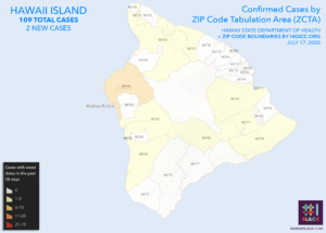
Map detail courtesy of Ryan Ozawa.